Our Maps
On this page the CLP presents detailed maps of some interventions for the use of other development projects and other interested parties. These maps allow users to visualise the CLP’s working area, the programme’s progress and the specific location of interventions.
Maps of the CLP’s interventions can be viewed below in two formats: through a Google Maps view and a GIS Map view. Each map collates data from both the first and second phases of the CLP. These maps are regularly updated to include the most recent data from new participants entering the programme.
8,697 total views, 1 views today
- Participants
- Arsenic
- Working Area
- CLP-2 Phases
- Asset Transfer
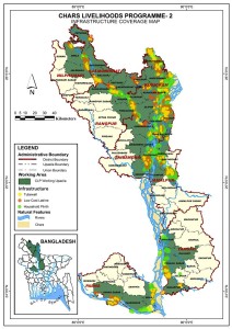
- Infrastructure Coverage Map
- Locations of Tube-wells
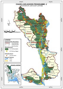
- Location of Hygienic Latrine
- Location of Household Plinth
Below map shows the locations of arsenic testing points in the 8 working districts of CLP. The locations are identified by GPS coordinates. This map is updated up to June 2014.
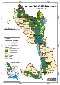
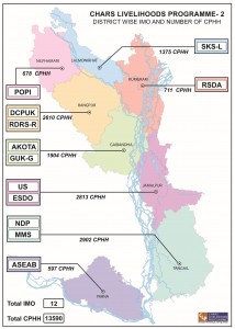
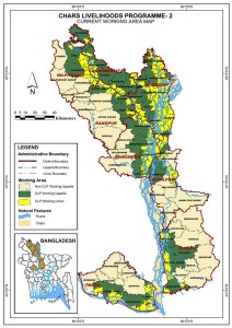
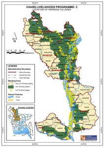
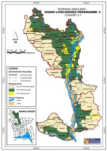
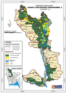
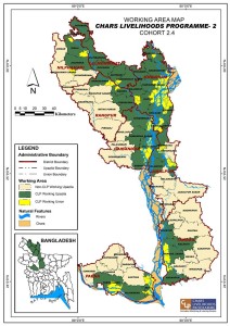
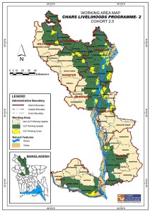
CLP-2 works on the chars of the Jamuna River in the districts of Kurigram, Gaibandha, Jamalpur, Lalmonirhat, Nilphamari, Rangpur, Pabna and Tangail.
CLP-1 and CLP-2 worked on the chars of the Jamuna River in the 10 districts of Kurigram, Bogra, Gaibandha, Sirajganj, Jamalpur, Lalmonirhat, Nilpharmari, Rangpur, Pabna and Tangail.
Coverage: 12,109 CPHH
Districts: Gaibandha, Kurigram, Lalmonirhat, Nilphamari and Rangpur
Asset Value: Tk. 15,500
Coverage: 17,435 CPHH
Districts: Kurigram, Jamalpur, Lalmonirhat, Nilphamari, Pabna, Rangpur and Tangail
Coverage: 16,309 CPHH
Districts: Kurigram, Jamalpur, Lalmonirhat, Nilphamari, Pabna, Rangpur, Gaibandha, and Tangail
Asset Value: Tk. 16,000
Coverage: 13,579 CPHH
Districts: Kurigram, Jamalpur, Lalmonirhat, Nilphamari, Pabna, Rangpur, Gaibandha, and Tangail
Asset Value: Tk. 16,500
Reducing Extreme Poverty on the Riverine Island of North West Bangladesh
© Chars Livelihoods Programme. CLP Secretariat, Rural Development Academy Campus. Bogra 5842, Bangladesh.
Email: info@clp-bangladesh.org








 Visit Today : 149
 Total Visit : 279695
 Hits Today : 803
 Total Hits : 1944200
 Who's Online : 2